Pen-y-crug Hill Fort

Pen-y-crug hill fort: Iron Age stronghold in Brecon Beacons
Brecon, Wales, United Kingdom
Well Preserved

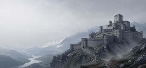
Pen-y-crug hill fort stands prominently on a sandstone hill within the Brecon Beacons National Park in Wales, United Kingdom. This ancient Iron Age hillfort crowns the summit of Pen-y-crug, a hill rising to 331 meters above sea level, whose name in Welsh means "top of the mound." The fort is one of several prehistoric defensive sites in the Usk Valley, strategically positioned to oversee the surrounding landscape and control important routes through the region.

Geological and geographical setting

The hill itself is composed primarily of sandstones and mudstones belonging to the St. Maughans Formation of the Old Red Sandstone, deposited during the Devonian period. The lower slopes consist of mudstones and sandstones from the Raglan Mudstone Formation dating to the late Silurian age. This geological composition has influenced both the shape and the natural defenses of the hill, with moderately gentle slopes on three sides and a steeper western face. During the last ice age, Pen-y-crug likely stood as a nunatak, protruding above the surrounding Usk Valley glacier ice.

Architectural features of the hillfort

The hillfort at Pen-y-crug is primarily an earthwork fortification typical of the Iron Age in Britain. The site features substantial defensive banks and ditches encircling the summit, designed to provide protection against invaders. Although much of the original timber or stone structures have not survived, the earthworks remain impressively visible and convey the scale of the fortifications.

The fort's location atop a flat summit with a trig point allows commanding views over the River Usk valley to the south, the town of Brecon to the southeast, and the distant Black Mountains and Brecon Beacons to the east and south respectively. This vantage point would have been crucial for surveillance and signaling during the Iron Age.

Historical context and significance

Pen-y-crug hill fort dates from the Iron Age, a period in Britain roughly spanning from 800 BC to the Roman invasion in AD 43. Hillforts like Pen-y-crug were centers of tribal power, community defense, and possibly trade. Their elevated positions provided natural defenses and visibility over the surrounding countryside. This site is part of a network of hillforts in the Usk Valley region, indicating a well-organized social and defensive landscape during the Iron Age.

Access and surrounding features

Today, Pen-y-crug hill fort is accessible to the public and is a popular destination for walkers, horseriders, and mountain bikers. A bridleway crosses the northern and eastern slopes from the B4520 road near Brecon, while a public footpath leads directly to the summit from Maen-du Well on the town's edge. The upper slopes are designated as open access land, allowing free roaming for visitors.

On the southeastern flank of the hill, visitors can find the remains of a Victorian-era brick and tile works, reflecting the site's later industrial use. Additionally, several disused sandstone quarries are scattered across the upper slopes, evidence of historical quarrying activities that exploited the hill's geological resources.

Natural and cultural landscape

The hillfort's location within the Brecon Beacons National Park places it amid a landscape of outstanding natural beauty, combining geological interest with cultural heritage. The panoramic views from the summit encompass key landmarks such as the Black Mountains and the Brecon Beacons, making it a site of both historical and scenic significance.

Preservation and condition

While no substantial stone buildings remain, the earthworks of Pen-y-crug hill fort are well-preserved and clearly discernible. The site is protected as part of the region's archaeological heritage, with ongoing efforts to maintain the integrity of the fortifications and surrounding landscape. Visitors can appreciate the scale and layout of the fort through the surviving ramparts and ditches, providing insight into Iron Age defensive architecture.

Frequently asked questions (FAQ)

What is Pen-y-crug Hill Fort?
Pen-y-crug Hill Fort is an ancient hilltop fortification located near Brecon in the United Kingdom. It dates back to the Iron Age and offers visitors a glimpse into the region's historical significance and strategic military architecture.
When was Pen-y-crug Hill Fort built?
The construction of Pen-y-crug Hill Fort is believed to have occurred around 500 BC, making it an important site for understanding early British history. Its strategic position provided a commanding view of the surrounding landscape, which was crucial for defense and communication.
Can I visit Pen-y-crug Hill Fort?
Yes, Pen-y-crug Hill Fort is open to the public and is a popular destination for both history enthusiasts and hikers. Visitors can explore the remains of the fort and enjoy panoramic views of the Brecon Beacons.
What are the opening hours for Pen-y-crug Hill Fort?
Pen-y-crug Hill Fort is accessible year-round, but the best time to visit is during daylight hours for safety. There are no specific opening hours, but it is advisable to visit during the day to fully appreciate the landscape and historical context.
Is there an entrance fee to visit Pen-y-crug Hill Fort?
There is no entrance fee to access Pen-y-crug Hill Fort, making it an excellent option for budget-conscious travelers. However, visitors are encouraged to consider donations to local heritage organizations that help maintain the site.
What is the best time to visit Pen-y-crug Hill Fort?
The best time to visit Pen-y-crug Hill Fort is during the spring and summer months when the weather is mild, and the views are particularly stunning. Early mornings or late afternoons also provide a quieter experience and beautiful lighting for photography.
Is Pen-y-crug Hill Fort accessible for people with disabilities?
While there are paths leading to Pen-y-crug Hill Fort, the terrain can be uneven and steep in places, which may pose challenges for individuals with mobility impairments. It is advisable to contact local visitor centers for more detailed accessibility information before planning your visit.
What nearby attractions can I visit while at Pen-y-crug Hill Fort?
While visiting Pen-y-crug Hill Fort, you can also explore the Brecon Beacons National Park, which offers stunning landscapes and numerous hiking trails. Additionally, the town of Brecon features charming shops, cafes, and the historic Brecon Cathedral, making it a great day out.

Information

Hill Castle

Loading map...

Visitor reviews

No reviews yet. Been here? Write the first review and help other travelers!

Write the first review

Visited this castle? Share your experience

Your review helps other travelers and adds first-hand knowledge to our encyclopedia.
Write a review

(5/5)

0/2000 characters

Your review will be visible after admin approval

Nearby castles

2.1 km
Brecon Castle — United Kingdom castle

Brecon Castle

Brecon, United Kingdom

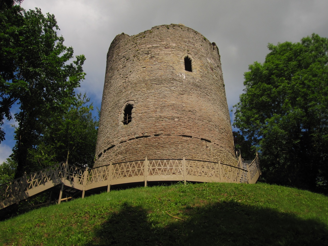
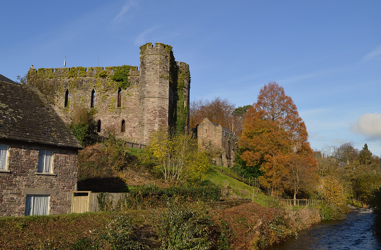
Brecon Castle, located in the town of Brecon, Wales, is a significant high medieval hill castle originally constructed in 1093 by the Norman lord Bernard de Neufmarché. Positioned strategically at the confluence of the Usk and Honddu rivers, the castle was designed to secure Norman control over the Welsh kingdom of Brycheiniog. Its commanding location atop a hill approximately 143 meters above sea level provided natural defenses and extensive views of the surrounding landscape, critical for military oversight during the turbulent medieval period. The castle's initial construction followed the typical motte-and-bailey design favored by the Normans, featuring a wooden keep atop a raised earthwork motte and an enclosed bailey courtyard. In the late 12th century, the wooden keep was replaced by a stone shell keep, a defensive wall encircling the motte summit rather than a solid tower, reflecting advancements in castle fortification techniques. This transition from timber to stone marked a significant architectural evolution, enhancing the castle's durability and defensive capabilities. Norman foundation and early history The establishment of Brecon Castle followed Bernard de Neufmarché's conquest of the Welsh kingdom of Brycheiniog. The castle served as a Norman foothold in South Wales, symbolizing the expansion of Norman influence into previously Welsh-controlled territories. Early ownership was held by the powerful de Braose family, who played a central role in consolidating Norman power in the region. However, the castle's history was marked by frequent conflict and changing hands. The de Braose family's rebellion against King John led to the crown confiscating Brecon Castle in 1207. Subsequently, the Bohun family took control in 1241, maintaining possession until 1373. The Stafford family acquired the castle thereafter, with Edward Stafford, the 3rd Duke of Buckingham, being its last notable lord until his execution in 1521 under King Henry VIII. This event led to the castle reverting to royal ownership and its gradual decline. Military significance and sieges Throughout the 13th and 15th centuries, Brecon Castle was a focal point of military actions, enduring numerous assaults by Welsh forces seeking to reclaim territory. Notably, in 1231, the castle suffered destruction at the hands of Llywelyn ap Iorwerth, the Prince of Gwynedd. The fortress also played a role during the First Barons’ War (1215–1217), a civil conflict in England involving rebel barons opposing King John. In addition to medieval conflicts, the castle saw action during the English Civil War in the 17th century, which further contributed to its deterioration. These repeated sieges and battles inflicted significant damage, leaving the castle increasingly vulnerable and leading to its eventual ruin by the late Tudor period. Architectural developments and features Stone fortifications and towers By 1233, the castle's defenses were enhanced with the construction of a stone bailey wall, replacing earlier wooden palisades. This stone enclosure provided stronger protection for the courtyard and internal buildings. Two distinctive towers were added during the 13th and early 14th centuries: one a round tower and the other a semi-octagonal tower. These towers not only served defensive purposes but also added to the castle’s imposing silhouette. Hall block and domestic structures A hall block was constructed around 1300, reflecting the castle's role as a noble residence as well as a military fortress. This hall provided space for administrative functions, social gatherings, and domestic life within the castle precincts. Portions of this hall survive today, integrated into later buildings. Decline and transformation Following the execution of Edward Stafford in 1521, Brecon Castle fell into disrepair and was largely abandoned as a military stronghold. By the Georgian era, it had become a ruin, with only fragments of its medieval structures remaining visible. In the early 19th century, the castle underwent significant restoration under the direction of Sir Charles Morgan of Tredegar House. Starting in 1809, Morgan invested over £7,000 to repair and adapt the remaining structures. This restoration transformed the castle into a hotel, a function it continues to serve today, blending historic preservation with modern hospitality. Surviving remains and current use Today, the castle's remains include the earthwork foundations of the motte and the ruined stone shell keep. The Ely Tower, covered in ivy, is a notable surviving structure, traditionally linked to the imprisonment of the Bishop of Ely. The castle's outer bailey, now a triangular enclosure south of the motte, contains the Castle Hotel, which incorporates medieval elements such as a two-story wall with four pointed lancet windows characteristic of Gothic architecture and a 14th-century tower. The castle is a Grade I listed building, recognized for its historical and architectural significance. Its integration into the town of Brecon and ongoing use as a hotel make it a unique example of adaptive reuse of medieval fortifications in Wales. Brecon Castle’s place in Welsh heritage As a Norman fortress established during the critical period of Norman expansion into Wales, Brecon Castle represents the intersection of military strategy, feudal power, and regional governance in medieval Britain. Its layered history of construction, conflict, decline, and restoration offers valuable insight into the evolving role of castles from defensive strongholds to symbols of heritage and hospitality. The castle's location at the meeting point of two rivers and its commanding hilltop position underscore the importance of geography in medieval castle placement. Its survival through centuries of warfare and political change highlights the resilience of Norman architectural principles adapted to Welsh landscapes. Visitors to Brecon Castle today can explore the blend of medieval ruins and 19th-century restoration, experiencing a tangible connection to the past while engaging with the site's contemporary function. The castle remains a prominent landmark in Brecon, contributing to the town's cultural identity and tourism appeal.

High Medieval (11th–13th c.)
Details
2.8 km

Brecon Gaer Roman Fort

Powys, United Kingdom

Brecon Gaer Roman Fort, located in the rural landscape of Powys, Wales, represents one of the most significant Roman military sites in the region. Established around AD 75, this fort was a critical part of the Roman Empire's defensive network in western Britain, strategically positioned at the junction of two important Roman roads. Its location allowed for effective control and communication across the surrounding territory, serving as a hub for military operations and regional administration during the Roman occupation. Historical context and strategic importance During the 1st century AD, the Roman Empire expanded into Wales, facing resistance from native tribes. The construction of Brecon Gaer was part of a broader campaign to establish Roman authority and secure supply and communication lines. The fort was garrisoned by the Vettonian Spanish Cavalry Regiment, an elite unit known for its cavalry skills, which underscores the site's military significance. The fort's placement at the crossroads of two major Roman roads facilitated rapid troop movements and logistical support. This connectivity was vital for maintaining Roman control over the region and for responding to local uprisings or external threats. Architectural features and layout Brecon Gaer was a substantial fortification, featuring strong defensive structures typical of Roman military architecture. The site included a large enclosure surrounded by robust walls, which still survive up to 8 feet (2.4 meters) high in some sections. These walls incorporated several defensive towers designed to provide vantage points for surveillance and defense against attacks. The fort's gateways were significant architectural elements, with two large entrances controlling access. These gateways were fortified to withstand sieges and regulate movement in and out of the fort. Within the fort, archaeological evidence reveals the presence of key Roman military buildings, such as a guardhouse, granary, and a heated bathhouse. The granary was essential for storing food supplies, ensuring the garrison could sustain itself during extended campaigns. The bathhouse reflects the Roman emphasis on hygiene and social life within military installations. Archaeological remains and preservation Today, Brecon Gaer Roman Fort exists as a partially preserved archaeological site. While much of the original structure has been lost or reduced over time, the surviving walls, towers, and gateways provide valuable insights into Roman military engineering and daily life at the fort. The remains are set within farmland, offering a tranquil contrast to the site's former strategic importance. Ongoing archaeological studies continue to uncover details about the fort's construction phases, garrison composition, and its role within the wider Roman frontier system in Wales. Visiting Brecon Gaer Roman Fort The site is accessible to visitors interested in Roman history and archaeology. While there are no extensive visitor facilities on-site, the remains can be explored on foot, allowing visitors to appreciate the scale and layout of the fort. Informational signage helps contextualize the ruins within the broader history of Roman Britain. Its rural setting offers an opportunity to experience the landscape much as it would have appeared during Roman times, providing a tangible connection to the past.

Early Medieval (5th–10th c.)
Details
12.7 km
Bronllys Castle — United Kingdom castle

Bronllys Castle

Talgarth, United Kingdom

Bronllys Castle stands as a significant example of a high medieval motte and bailey fortress located near the village of Bronllys in Powys, Wales. Founded in the early 12th century, this castle played a pivotal role in the complex political and military landscape of the Welsh Marches. Its strategic position south of Bronllys, towards Talgarth, enabled it to serve as a defensive stronghold amid frequent conflicts between Norman lords and Welsh princes. The castle's origins trace back to around 1100 when Richard Fitz Pons, a Norman nobleman and supporter of Bernard of Neufmarché, established the initial wooden fortifications. This early structure typified the motte and bailey design, featuring a raised earthwork (motte) topped with a timber keep and an enclosed courtyard (bailey) surrounded by a protective ditch and palisade. The choice of location leveraged natural topography for defense, with the motte rising approximately 125 meters above sea level in a valley setting. Stone reconstruction and architectural evolution In 1144, the castle underwent a significant transformation when Roger Fitzmiles, Earl of Hereford, detached the land from the Lordship of Brecknock and granted it to Walter de Clifford, son of Richard Fitz Pons. Walter replaced the original wooden structures with stone fortifications, marking a critical evolution in the castle's defensive capabilities. Among the most prominent features from this phase is the round stone tower constructed atop the motte, a robust architectural element designed to withstand sieges and attacks. The round tower is historically notable, especially due to an incident in 1165 when it caught fire. During this event, a stone fell from the battlements, fatally injuring Mahel de Hereford, the last surviving brother of Earl Roger. This tragic episode is recorded by Gerald of Wales, who recounts Mahel's repentance for his persecution of the Bishop of St. Davids as he lay dying. Medieval ownership and political significance Bronllys Castle's ownership reflects the shifting allegiances and power struggles of the medieval Welsh Marches. Following the death of Earl Roger and his brothers, the castle passed through the hands of their sister's husband, Philip de Braose, and subsequently to Eleanor de Braose and her husband, Humphrey de Bohun. The castle was strategically important, evidenced by its defense in 1233 by Walter de Clifford's grandson against an assault led by the Welsh prince Llywelyn ab Iorwerth. Ownership continued to be contested and transferred through marriage and royal favor. In 1311, King Edward II granted the castle to Rhys ap Hywel for his loyalty, though it was later reclaimed by the crown. King Edward III subsequently awarded Bronllys to Humphrey de Bohun, reinforcing the castle's role as a prize of political allegiance. The death of Humphrey in 1373 led to disputes over the estate until Henry Bolinbroke (later King Henry IV) secured it through marriage in 1399. Military role during the glyndŵr rising and decline During the early 15th century, Bronllys Castle was fortified in response to the Glyndŵr Rising, a major Welsh rebellion against English rule led by Owain Glyndŵr. Despite these efforts to strengthen the castle's defenses, it was never again occupied after this turbulent period. The castle's military significance waned as political stability shifted and new forms of warfare emerged. The castle's decline accelerated in the early 16th century. Following the execution of Edward Stafford, 3rd Duke of Buckingham in 1521, Bronllys was forfeited to the crown. That same year, the antiquarian John Leland documented the castle's dilapidated state, noting its advanced disrepair. By 1583, the ruins had further deteriorated, reflecting centuries of neglect. Architectural remains and preservation Today, Bronllys Castle's remains offer a window into its medieval past. The site retains the classic motte and bailey layout, with the motte prominently rising above the surrounding landscape. The stone round tower on the motte remains the most significant surviving structure, illustrating the transition from timber to stone fortifications typical of the 12th century. The castle's location is characterized by a valley setting surrounded by hills, including a notable hill rising to 677 meters about 5.3 kilometers northeast. The nearby town of Brecon lies approximately 12 kilometers southwest. The physical remains, though fragmentary, clearly communicate the castle's defensive role and its architectural evolution over time. Bronllys Castle is currently under the care of Cadw, the historic environment service of the Welsh Government. It is open to the public seasonally, from April to October, allowing visitors to explore the ruins and appreciate the site's historical significance. Despite its ruinous condition, the castle remains a vital cultural landmark, reflecting the rich medieval heritage of the Welsh borderlands.

High Medieval (11th–13th c.)
Details