Horom Citadel
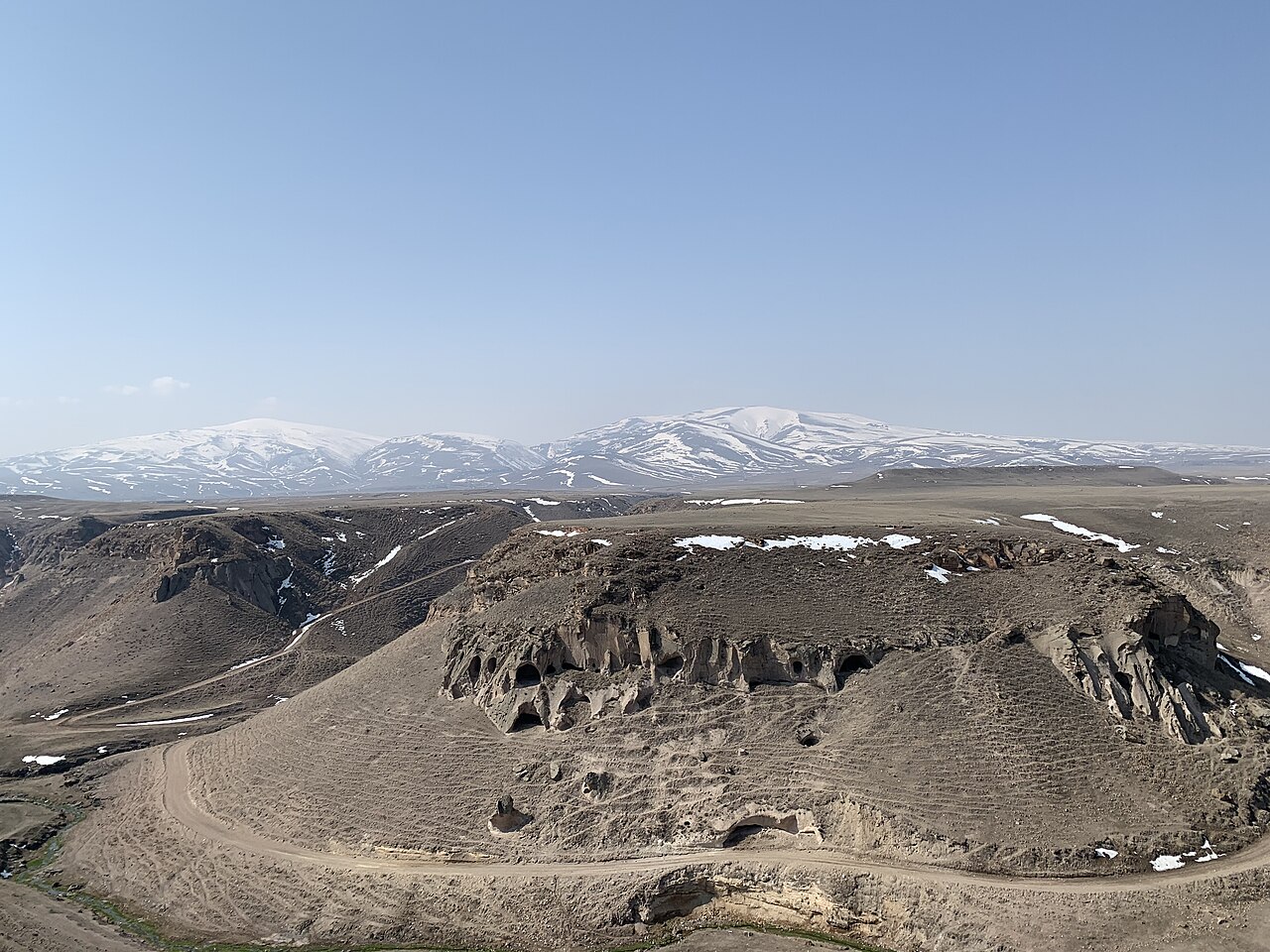
Horom Citadel (Armenian: Հոռոմ Բերդ, also Romanized as Orom and Horrom) is a significant ancient fortification located in the Shirak Province of northwestern Armenia. Perched atop two large hills, it overlooks the landscape south of the main road and directly opposite the Kamut Reservoir dam. This strategic position highlights its historical importance in controlling the surrounding territory and waterways.
Historical significance and origins
The site of Horom Citadel has roots tracing back to the Bronze Age, with substantial developments during the Urartian period (9th to 6th centuries BCE). The Urartians, an ancient kingdom known for their advanced fortification techniques, expanded and reinforced the citadel, transforming it into a formidable bastioned fortress. This era marks the peak of the citadel's military and administrative functions.
Its proximity to other Urartian cyclopean forts such as those at Ghak and Shvaghtapa underscores the region's strategic military network. These neighboring sites shared architectural and defensive features typical of Urartian fortresses, including massive stone walls and complex bastions designed to withstand sieges.
Architectural features and fortifications
The Horom Citadel is classified as a bastioned fortress, a style characterized by projecting bastions that provide defensive flanking fire along the curtain walls. The fortress's construction atop two hills allowed for natural elevation advantages, enhancing visibility and defense capabilities.
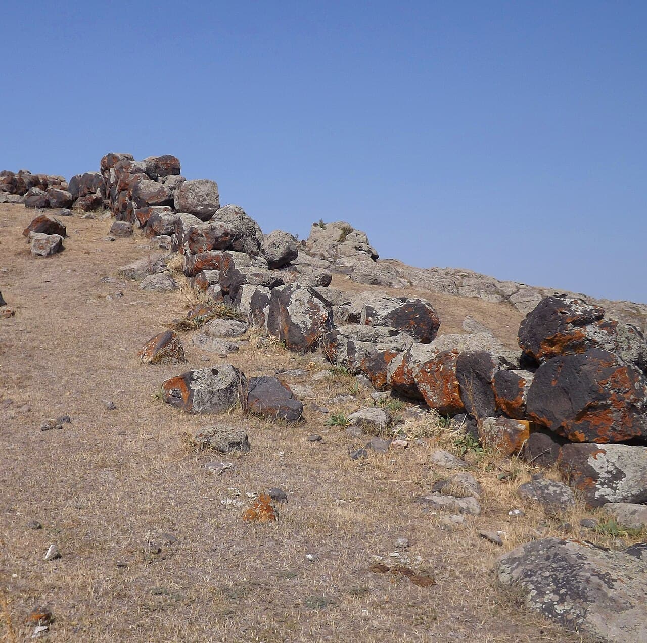
Archaeological investigations reveal that the citadel's walls were built using large, roughly hewn stones typical of cyclopean masonry, a hallmark of Urartian military architecture. These walls were thick and robust, designed to resist battering and scaling. The bastions themselves protruded from the walls, enabling defenders to cover blind spots and create overlapping fields of fire.
Within the citadel, remnants of structures such as towers, gates, and possibly residential or administrative buildings have been identified. These internal features suggest the site was not only a military installation but also served as a local center of governance and habitation during its occupation.
Geographical context and strategic location
Situated about one kilometer east of the village of Horrom, the citadel's location was critical for controlling access routes through the region. The nearby Kamut Reservoir and dam add modern geographic markers but also indicate the area's longstanding importance in managing water resources and trade routes.
The surrounding terrain of Shirak Province, with its hills and valleys, offered natural defensive advantages that the builders of Horom Citadel expertly utilized. The elevated position allowed for early warning of approaching forces and an imposing presence over the landscape.
Archaeological research and preservation status
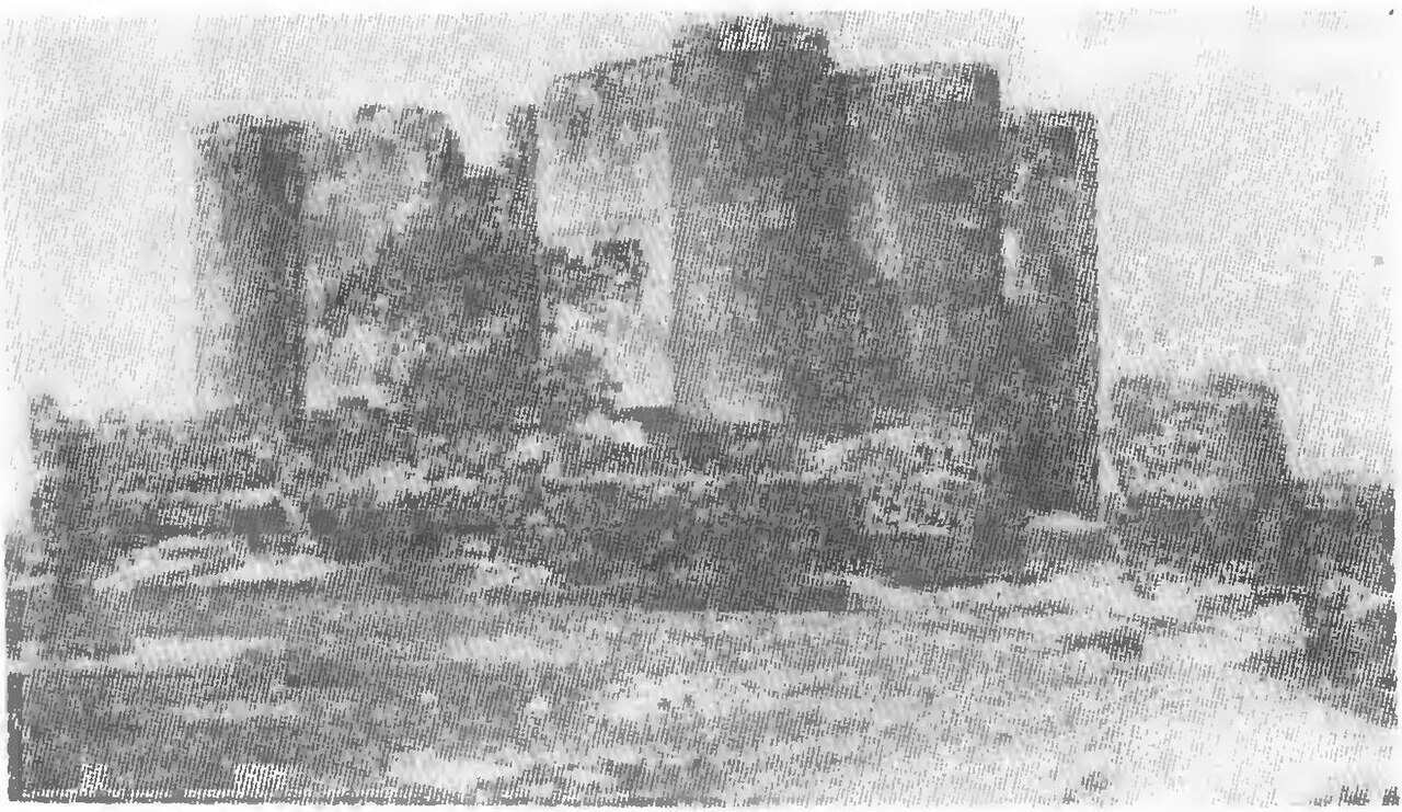
Excavations and studies at Horom Citadel have contributed valuable insights into Urartian military architecture and settlement patterns. The site is currently in a state best described as archaeological ruins, with many original features partially preserved but vulnerable to natural erosion and human activity.
Efforts to document and protect the site continue, emphasizing its cultural heritage importance within Armenia. Visitors to the region can observe the remains and gain a sense of the ancient defensive systems that once dominated this frontier zone.
Relation to Urartian civilization and legacy
The Urartians were known for their sophisticated fortresses, hydraulic engineering, and metalwork. Horom Citadel exemplifies these qualities through its durable construction and strategic design. The fortress played a role in the defense and administration of Urartian territories, contributing to the kingdom's ability to control and influence the South Caucasus region.
Today, Horom Citadel stands as a testament to the engineering prowess and military acumen of the Urartian civilization. Its ruins offer scholars and visitors alike a tangible connection to a formative period in Armenian history.
Frequently asked questions (FAQ)
- What is the historical significance of Horom Citadel?
- Horom Citadel is an ancient fortification with origins in the Bronze Age and significant development during the Urartian period, serving as a military and administrative center.
- Where is Horom Citadel located?
- It is located in Shirak Province, northwestern Armenia, about one kilometer east of the village of Horrom near the Kamut Reservoir.
- What architectural style characterizes Horom Citadel?
- The citadel is a bastioned fortress featuring cyclopean masonry typical of Urartian military architecture, with thick stone walls and projecting bastions.
- Can visitors access Horom Citadel?
- Horom Citadel is an archaeological site with ruins that can be visited, though facilities and detailed visitor information may be limited due to its preservation state.
- How does Horom Citadel relate to other Urartian forts?
- It is part of a network of Urartian cyclopean forts in the region, including nearby Ghak and Shvaghtapa, reflecting a coordinated defensive system.
Photo gallery

Information
Loading map...
Visitor reviews
No reviews yet. Been here? Write the first review and help other travelers!
Write the first reviewVisited this castle? Share your experience
Your review helps other travelers and adds first-hand knowledge to our encyclopedia.