Caherconree
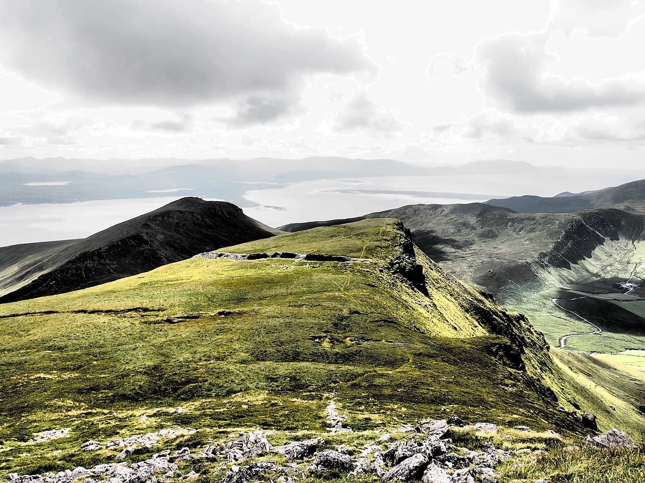
Caherconree (Irish: Cathair Conraoi, meaning ''Cú Roí’s stone fort') is an ancient stone promontory fort located on one of the southern spurs of the Slieve Mish Mountains on the Dingle Peninsula in County Kerry, Ireland. This site is situated at an elevation of approximately 835 metres (2,740 ft), making it the 20th-highest peak in Ireland on the Arderin scale and the 27th-highest peak on the Vandeleur-Lynam scale. Caherconree is the second-highest mountain in the Slieve Mish range, notable for its rugged terrain and commanding views of the surrounding landscape.
Historical significance and location
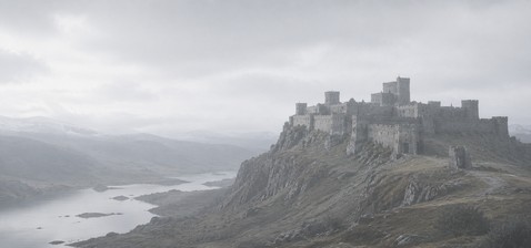
The fort itself is an ancient stone promontory fort, a type of defensive structure commonly found in Ireland dating back to the early medieval period or possibly earlier. These forts were typically constructed on naturally defensible locations such as headlands or mountain spurs, utilizing the natural topography to enhance their defensive capabilities. Caherconree’s fort is recognized as a protected National Monument due to its cultural and archaeological importance.
Its name, derived from the legendary figure Cú Roí, a warrior from Irish mythology, links the site to Ireland’s rich mythological heritage. The fort’s position on a high mountain spur would have provided strategic advantages, including surveillance over the surrounding areas and protection from invaders.
Architectural features of the stone fort
The Caherconree fort is characterized by its stone walls built from locally sourced rock, arranged in a circular or oval shape typical of promontory forts. These walls would have served as defensive barriers against attackers. The fort’s construction takes advantage of the natural steep slopes on several sides, reducing the need for extensive man-made fortifications on those fronts.
Within the fort’s enclosure, there are remnants of additional structures such as internal walls or partitioning walls that may have divided living or storage areas. The layout suggests a compact settlement designed for defense and habitation by a small community or group of warriors.
Natural environment and views
The location of Caherconree offers expansive views across the Dingle Peninsula and beyond, including views towards the Atlantic Ocean. The mountain’s rugged terrain and elevation make it a prominent landmark visible from afar. The natural surroundings include heathland, rocky outcrops, and mountain flora typical of the region.
The fort’s position on a high promontory would have allowed early inhabitants to monitor movements across the landscape, an important feature for both defense and communication in ancient times.
Preservation and current status
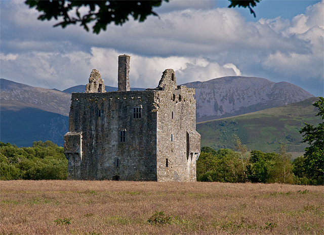
Caherconree is classified as a ruined site, with the stone walls and structures surviving in varying states of preservation. It is protected under Irish heritage laws as a National Monument, ensuring that it is maintained and safeguarded for future generations. The site is accessible to visitors, who can explore the remains and enjoy the panoramic views.
Due to its remote and elevated location, access requires a hike, making it a destination for those interested in both archaeology and outdoor activities such as hiking and mountaineering.
Visiting Caherconree
Visitors to Caherconree should prepare for a challenging ascent due to the mountain’s height and terrain. There are no formal visitor facilities at the site, so visitors should bring adequate supplies and wear suitable footwear. The best time to visit is during the warmer months when weather conditions are more favorable.
Exploring Caherconree provides a unique opportunity to connect with Ireland’s ancient past while experiencing the natural beauty of the Dingle Peninsula.
Frequently asked questions (FAQ)
- What is the historical significance of Caherconree?
- Caherconree is a prominent hillfort that dates back to the Iron Age, showcasing the strategic importance of the site in ancient Irish history. It is believed to have been a stronghold for local chieftains and offers insights into the social and military structures of early Irish society.
- When was Caherconree built?
- Caherconree is thought to have been constructed around 500 BC, making it one of the oldest fortifications in Ireland. Its well-preserved structures provide an invaluable glimpse into pre-Christian Ireland and its defensive architecture.
- How do I get to Caherconree?
- Caherconree is located in County Kerry, easily accessible by car or public transport from nearby towns such as Tralee. There are signposted routes leading to the site, and visitors can enjoy the scenic landscape along the way.
- Can I visit Caherconree year-round?
- Yes, Caherconree is open to visitors year-round, allowing you to explore its historical features and stunning views at your convenience. However, it's advisable to check local weather conditions and dress appropriately for outdoor exploration.
- What are the opening hours for Caherconree?
- Caherconree is typically accessible during daylight hours, from sunrise to sunset. There are no specific ticketing requirements, but visitors should plan their trips accordingly to fully enjoy the site.
- Is it possible to hike around Caherconree?
- Absolutely! The area surrounding Caherconree offers several hiking trails that cater to various skill levels. Hiking provides an excellent way to appreciate the natural beauty of the landscape while exploring the historical fortifications.
- What is the best time to visit Caherconree?
- The best time to visit Caherconree is during the spring and summer months when the weather is more favorable for outdoor activities. This period also allows you to enjoy the lush greenery and vibrant wildlife that surrounds the site.
- Are there any nearby attractions to visit?
- Yes, there are several nearby attractions, including the scenic Slieve Mish Mountains and Banna Strand. Visitors can also explore the charming town of Tralee, which offers additional historical sites and cultural experiences.
- What are the ticket prices for Caherconree?
- Visiting Caherconree is free of charge, making it an accessible destination for all. However, visitors may want to consider contributing to local conservation efforts through donations to help maintain the site.
Photo gallery

Information
Loading map...
Visitor reviews
No reviews yet. Been here? Write the first review and help other travelers!
Write the first reviewVisited this castle? Share your experience
Your review helps other travelers and adds first-hand knowledge to our encyclopedia.