Baghsar Fort — Pakistan castle

Baghsar Fort

Baghsar Fort in Samahni Valley, Pakistan
Bhimber, Pakistan
Post-Renaissance (17th–18th c.)
Partially Preserved

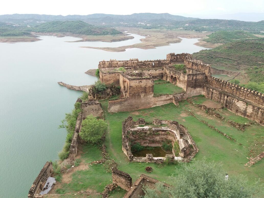
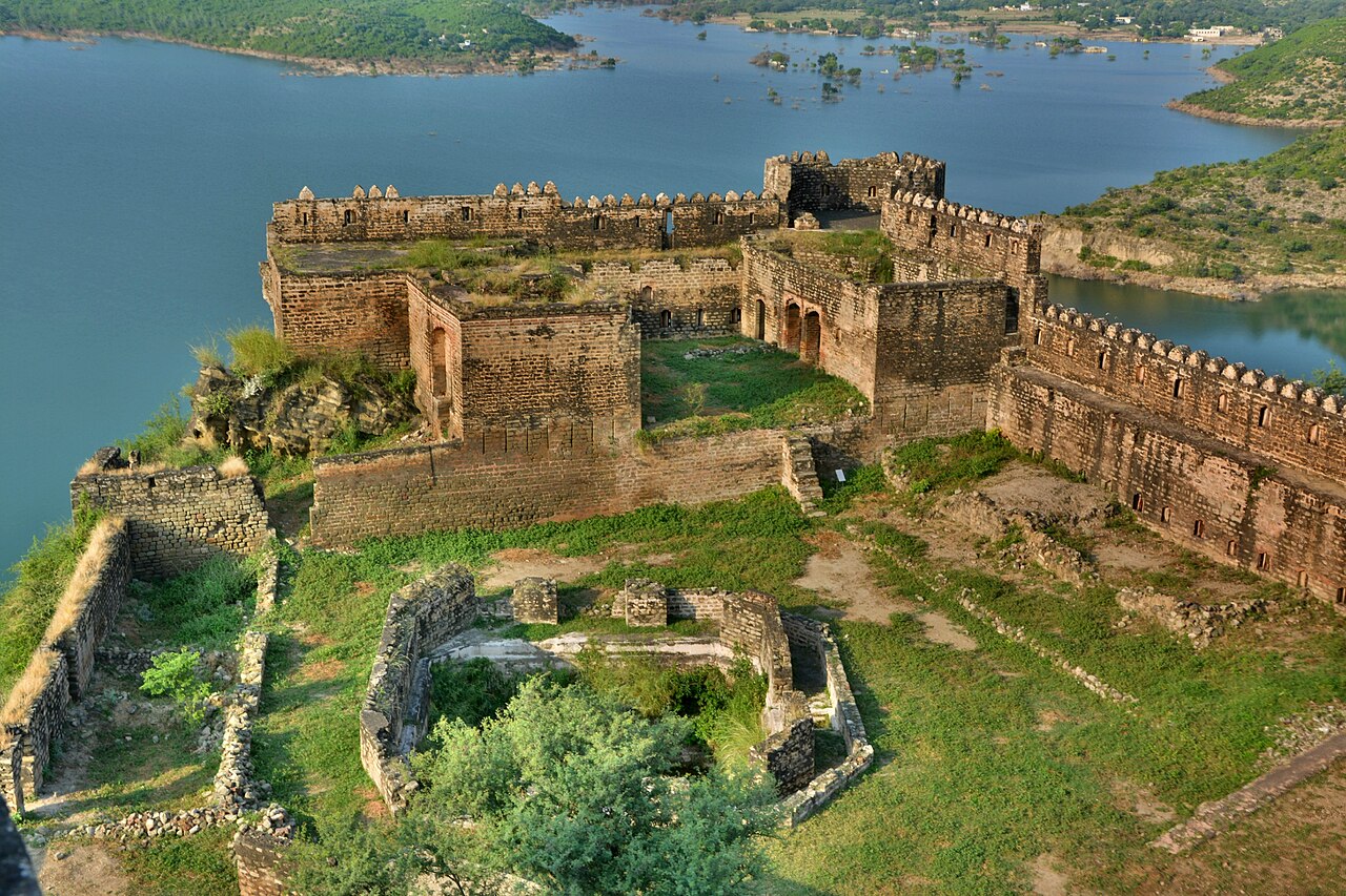
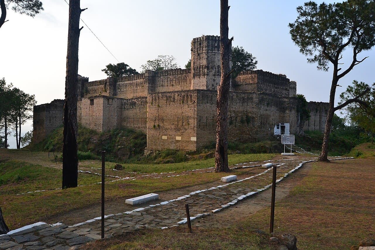
Baghsar Fort is a historic bastioned fortress located in the Samahni Valley near Bhimber in Pakistan. This ancient fortification holds significant strategic and historical importance due to its proximity to the line of control between Pakistan and India. The fort is situated close to the area known as Baghsar, from which it derives its name.

Historical context and construction

The fort was constructed during the Mughal period, a time when the Mughal Empire was expanding and consolidating its territories across the Indian subcontinent. The Mughal rulers built Baghsar Fort as a military stronghold to protect their northern frontiers and to control the surrounding valleys and trade routes. Its construction reflects the military architectural practices of the Mughal era, emphasizing defense and strategic advantage.

Architectural features and design

Baghsar Fort is classified as a bastioned fortress, a style characterized by angular bastions projecting from the curtain walls, allowing defenders to cover adjacent walls with gunfire. The fort's design includes robust stone walls and strategically placed bastions that provided vantage points for surveillance and defense. The fortress layout was intended to withstand sieges and attacks, with thick walls and limited entry points to control access.

The location of Baghsar Fort on elevated terrain in the Samahni Valley enhances its defensive capabilities, offering extensive views of the surrounding landscape. This positioning was crucial for early warning against invading forces and controlling movement through the valley.

Current condition and accessibility

Today, Baghsar Fort remains a significant historical site, although parts of it are currently closed to visitors due to its proximity to the sensitive line of control between Pakistan and India. The fort's condition varies, with some sections well-preserved while others show signs of wear and partial ruin. Preservation efforts are challenged by the geopolitical situation and limited access.

Cultural and strategic significance

Baghsar Fort represents an important example of Mughal military architecture in the northern region of Pakistan. Its presence highlights the strategic importance of the Samahni Valley historically as a corridor between different regions. The fort also serves as a cultural landmark, reflecting the history and heritage of the Mughal period in this border area.

Despite restricted access, Baghsar Fort continues to attract interest from historians, archaeologists, and visitors intrigued by its military design and regional history. It stands as a testament to the enduring legacy of Mughal fortifications in South Asia.

Photo gallery

Baghsar Fort
Click to view

Photo by Elahi mansoor•CC BY-SA 4.0

1 photo • Click any image to view in full screen

Information

Bastioned Fortress

Loading map...

Visitor reviews

No reviews yet. Been here? Write the first review and help other travelers!

Write the first review

Visited this castle? Share your experience

Your review helps other travelers and adds first-hand knowledge to our encyclopedia.
Write a review

(5/5)

0/2000 characters

Your review will be visible after admin approval

Nearby castles

52.3 km
Akhnoor Fort — India castle

Akhnoor Fort

Jammu, India

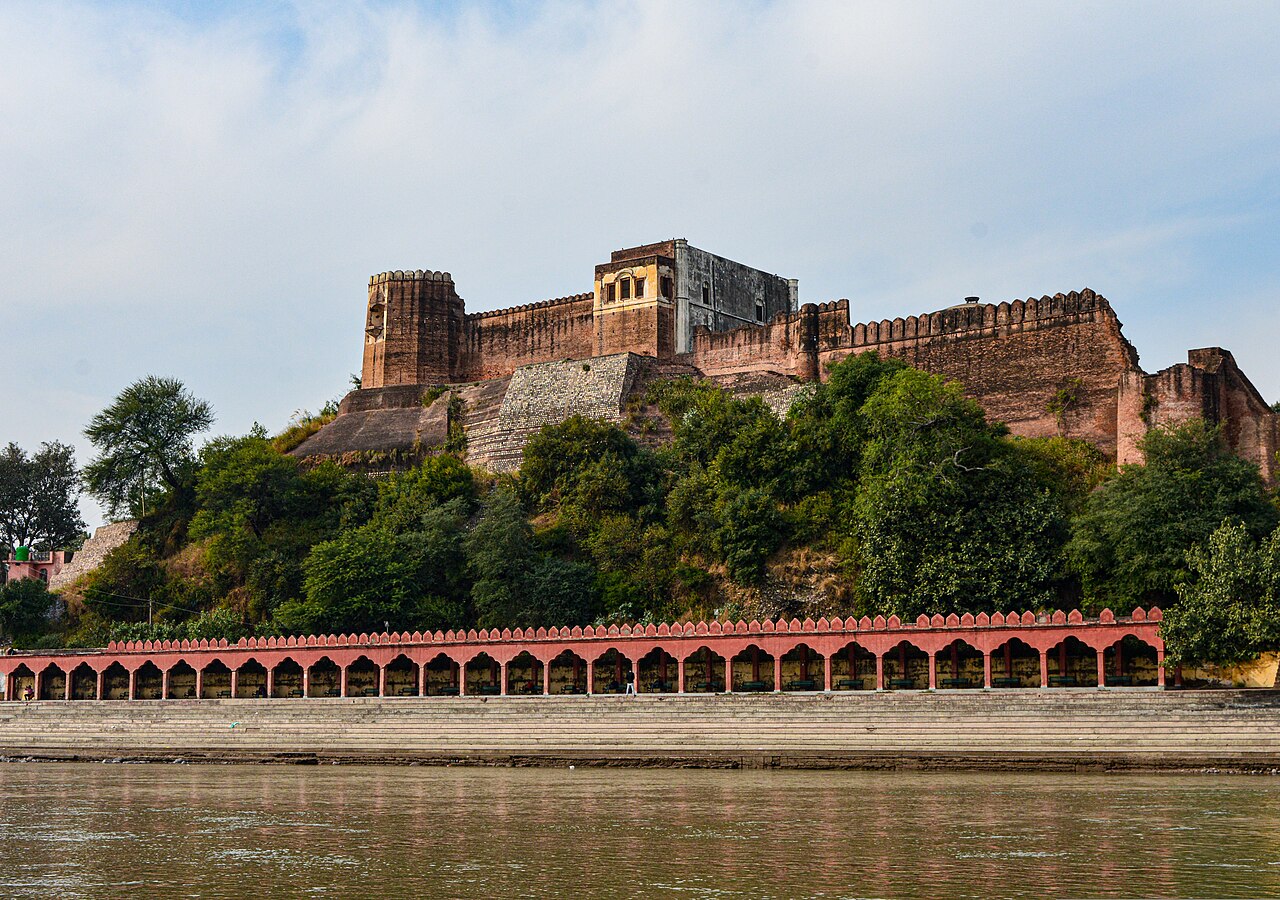
Akhnoor Fort stands prominently on the right bank of the Chenab River (historically known as Asikni), approximately 28 kilometers from Jammu City in northern India. This 18th-century bastioned fortress is a significant example of post-medieval military architecture in the region, combining defensive features with royal residential elements. Historical background and construction The construction of Akhnoor Fort began in 1762 CE under the direction of Raja Tej Singh. The project spanned several decades and was completed by his successor, Raja Dhian Singh, in 1802. This period corresponds to the post-renaissance era in Indian fort architecture, where traditional defensive designs were adapted to evolving warfare technologies and local needs. The fort gained further historical prominence when, on 17 June 1822, Maharaja Ranjit Singh crowned Maharaja Gulab Singh at the fort's Jia Pota ghat on the Chenab riverbank. This event marked a significant moment in the political history of the region, linking the fort to the formation of the princely state of Jammu and Kashmir. Architectural features and layout Akhnoor Fort is characterized by its high fortification walls built with robust masonry. These walls are reinforced with bastions placed at regular intervals, providing vantage points for defense and surveillance. The walls are topped with battlements and merlons, which are crenellated features allowing defenders to shield themselves while observing or firing upon attackers. At each corner of the fort, there are distinctive two-storeyed watch-towers. These towers rise above the main walls and are similarly crowned with battlements and merlons, enhancing their defensive capability and visibility over the surrounding landscape. The fort's internal structure is divided into two main parts, separated by a dividing wall that includes a gate. This gate provides access to the southern section, where the palace complex is located. The palace itself is a two-storeyed building featuring walls that face an inner courtyard. These walls are decorated with ornate arches, some of which contain mural paintings that reflect the artistic styles of the period. Defensive and access points Access to Akhnoor Fort is possible from multiple directions, including both riversides and the northern approach. This strategic positioning allowed control over river traffic and land routes. Historically, the fort's location on the Chenab River also provided a natural defensive barrier on one side, enhancing its security. Conservation and current status In recent decades, parts of Akhnoor Fort had fallen into disrepair, with significant sections in ruins due to age and environmental factors. Recognizing its cultural and historical importance, the fort was declared a National Monument in 1982 under the Ancient Monuments and Archaeological Sites and Remains Act, 1958. Since then, it has been under the jurisdiction of the Archaeological Survey of India (ASI), which has undertaken conservation and restoration efforts to preserve the fort's structural integrity and artistic heritage. Ongoing conservation work aims to stabilize the fort's walls and restore damaged sections, including the palace's mural-adorned arches. These efforts help maintain the fort as a valuable heritage site and tourist attraction in the Jammu region. Significance in regional history and architecture Akhnoor Fort exemplifies the military architectural style of the post-renaissance period in northern India, blending traditional bastioned defense mechanisms with residential palatial features. Its bastioned fortress design reflects adaptations to the use of gunpowder weaponry and evolving warfare tactics of the 18th century. The fort's association with key historical figures such as Raja Tej Singh, Raja Dhian Singh, Maharaja Ranjit Singh, and Maharaja Gulab Singh underscores its importance in the political and cultural history of Jammu and Kashmir. The coronation of Maharaja Gulab Singh at the fort marked a turning point in the establishment of the princely state, linking the site to broader regional narratives. Architectural elements reflecting cultural influences The palace's decorated arches and mural paintings indicate influences from local artistic traditions and possibly Mughal styles, which were prevalent in northern India during the period. The fort's layout, combining strong defensive walls with elegant residential quarters, illustrates the dual function of such structures as both military strongholds and seats of power. Visitor information and accessibility Visitors to Akhnoor Fort can explore the extensive fortifications, bastions, and watch-towers that offer panoramic views of the Chenab River and surrounding landscape. The palace area provides insight into the royal lifestyle and artistic heritage of the region. The fort's location near Jammu City makes it accessible for day trips, and ongoing conservation efforts ensure a safer and more informative experience for tourists and history enthusiasts alike.

Post-Renaissance (17th–18th c.)
Details
53 km
Throchi Fort — Pakistan castle

Throchi Fort

, Pakistan

Throchi Fort (Urdu: تھروچی قلعہ) is a significant historical fortress located in Throchi village, within the Choroi Tehsil of Kotli district in Azad Jammu and Kashmir, Pakistan. This 15th-century bastioned fortress is perched on a prominent hilltop approximately 3 kilometres east of Gulpur village, commanding expansive views of the surrounding landscape. Its strategic location was chosen to oversee and control the nearby settlements and routes, reflecting its military importance during the late medieval period. Historical context and significance The construction of Throchi Fort in the 15th century places it within the late medieval period, a time characterized by frequent regional conflicts and the need for fortified structures to secure territories. The fort's design as a bastioned fortress indicates an architectural evolution responding to advances in siege warfare, including the use of artillery. This style typically features projecting bastions at the corners of the fortification walls, allowing defenders to cover adjacent walls with defensive fire, enhancing the fort's ability to withstand attacks. Architectural features and layout Throchi Fort is distinguished by its elevated position on a hill, which provides natural defensive advantages such as visibility over the surrounding area and difficulty of access for attackers. The fort's walls are reinforced with bastions, which are angular or rounded projections that extend beyond the main curtain walls. These bastions allowed defenders to mount cannons and other artillery, reflecting the military technology of the time. The fort likely includes traditional elements such as a main gate designed to be defensible, battlements for archers or gunners, and internal courtyards for troop assembly and logistics. The exact internal layout is less documented but would have included living quarters, storage facilities, and possibly a keep or strong central tower serving as a last refuge during sieges. Strategic location and surrounding geography Situated near Gulpur village, the fort overlooks a landscape that was historically important for controlling local trade routes and communication lines. Its hilltop position not only provided military advantages but also served as a lookout point to monitor movements in the valley below. The surrounding terrain is rugged and hilly, typical of the region, which would have further complicated any assault on the fort. Preservation and current status Today, Throchi Fort remains a notable landmark in the region, though its current condition is not extensively documented. Given its age and historical significance, it likely exists in a state ranging from partially preserved to ruins. Efforts to maintain or restore the fort would help preserve this cultural heritage site and provide valuable insights into the military architecture of the late medieval period in this part of South Asia. Visiting Throchi Fort Visitors to the Kotli district interested in history and architecture may find Throchi Fort a compelling destination due to its commanding views and historical importance. The fort's location on a hilltop requires a moderate hike, rewarding visitors with panoramic vistas of the surrounding villages and hills. Exploring the fort offers a tangible connection to the region's past and the strategic military considerations of its builders.

Late Medieval (14th–15th c.)
Details
56.4 km
Ramkot Fort — Pakistan castle

Ramkot Fort

Mirpur, Pakistan

Ramkot Fort (Urdu: قلعہ رام کوٹ, romanized: Qila Ram Kot) is a prominent medieval bastioned fortress located near Mirpur in Azad Kashmir, Pakistan. Perched atop a steep rocky hill, the fort commands a strategic vantage point overlooking the Mangla Dam and the surrounding landscape. This elevated position provided significant defensive advantages, making Ramkot Fort a key military stronghold in the region during its time. Historical background and construction The origins of Ramkot Fort date back to the early medieval period, with construction believed to have begun around the 5th century. The fort's establishment was likely motivated by the need to control vital trade routes and protect the local population from invasions. Its location near the confluence of the Jhelum River and the hilly terrain made it an ideal defensive site. Throughout its history, the fort has witnessed various rulers and dynasties, including local chieftains and regional powers who sought to maintain control over this strategic area. The fort's architecture reflects adaptations made over centuries to improve its defensive capabilities, including the addition of bastions and fortified walls. Architectural features and defensive design The bastioned fortress layout Ramkot Fort is classified as a bastioned fortress, a style characterized by projecting bastions at the corners and along the walls to allow defensive fire in multiple directions. This design was crucial for repelling attackers and minimizing blind spots around the fort's perimeter. Main gate and access routes The fort is accessible via three main routes originating from the towns of Dina, Dadyal, and Mirpur. Visitors must ascend approximately 440 stone stairs carved into the hillside to reach the main gate. The gate itself is built on a sloped rock foundation, enhancing its defensive strength by making direct assaults more difficult. Walls, bastions, and internal structures The fort’s walls are constructed from local stone and exhibit thick, robust masonry designed to withstand sieges and artillery attacks. The bastions protrude outward, allowing defenders to cover the curtain walls with crossfire. Inside the fort, remnants of barracks, , and watchtowers suggest a well-organized military installation. Geographical significance and surroundings Situated in the Mirpur District, Ramkot Fort overlooks the Jhelum River valley and the vast reservoir created by the Mangla Dam. The fort’s hilltop position provided not only military advantages but also control over riverine trade and communication routes in the region. The surrounding terrain is rugged and hilly, which historically limited access and provided natural protection against invading forces. The fort's commanding views allowed early warning of approaching enemies and facilitated communication with nearby settlements. Current condition and accessibility Today, Ramkot Fort is in a partially preserved state, with significant portions of its walls and bastions still standing. While some areas have deteriorated due to natural weathering and lack of extensive restoration, the fort remains an important cultural and historical landmark. Visitors can explore the site via the established stairways, experiencing the fort's defensive architecture firsthand. Its location and structure attract tourists interested in medieval military architecture and the history of Azad Kashmir. Ramkot Fort in cultural heritage The fort holds a place in the local heritage as a symbol of resilience and strategic importance. It represents the military ingenuity of early medieval builders in the region and offers insights into the historical conflicts and governance of Azad Kashmir. Efforts to preserve and promote Ramkot Fort contribute to the understanding of Pakistan's diverse historical landscape and architectural traditions.

Early Medieval (5th–10th c.)
Details